News
CAPCOG calls for Orthoimagery projects, geospatial savings
CAPCOG is coordinating the purchase of geospatial data through its 2020 Capital Area Orthoimagery Project in partnership with Texas Natural Resources Information System (TNRIS) Strategic Mapping Program (StratMap) as a regional cooperative effort to save local jurisdictions money. There is a May 31 deadline to submit projects.
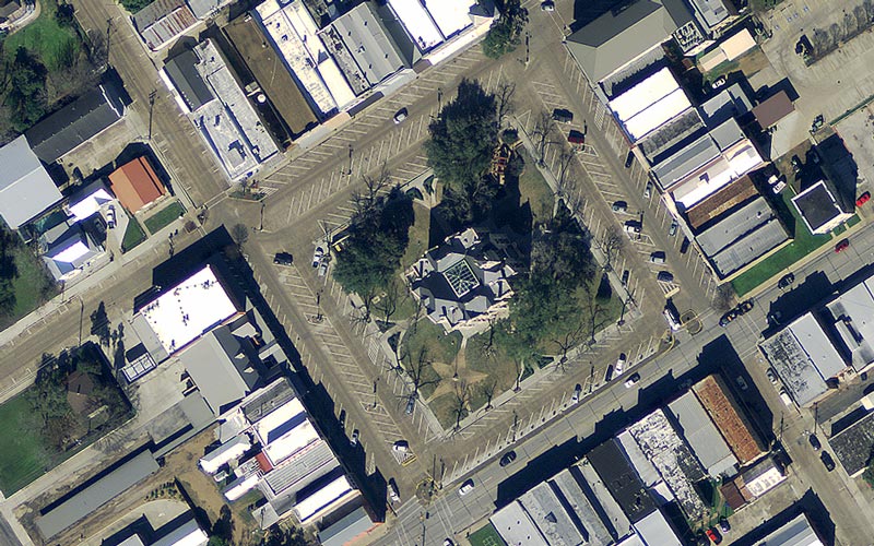
Orthoimagery is scale-corrected so governments, utilities, planners, developers and others can use it as an accurate base map or reference to create vector data —points, lines, and polygons that represent those features in the imagery. This allows for accurate measurements and can be overlaid with other data in geographic information systems (GIS) to produce maps and conduct spatial analysis.
Local jurisdictions can experience savings on purchasing higher resolution orthoimagery, 6-inch or higher, based on the volume of participants and by not duplicating project procurement. Higher resolution imagery is most common for infrastructure planning and mapping projects. CAPCOG will purchase 12-inch resolution imagery across the region for areas where higher resolution imagery is not purchased. A conservative budget estimate to participate in the project is about $100 per square mile of 6-inch orthoimagery; however, the 2019 Capital Area Orthoimagery Project purchased 6-inch resolution for $75 per square mile.
Local jurisdictions also can procure other geospatial products, such as LiDAR which is valuable for flood modeling and other elevation-based analyses, directly through StratMap to further save during this program cycle.