- Who We Are
- What We Do
- Divisions
- Transparency
- News
- Events
- Regional Directory
- Careers
Serving Bastrop, Blanco, Burnet, Caldwell, Fayette, Hays, Lee, Llano, Travis, and Williamson Counties
MENU
News
Tuesday June 29, 2021
Open data site provides more mapping information for community partners
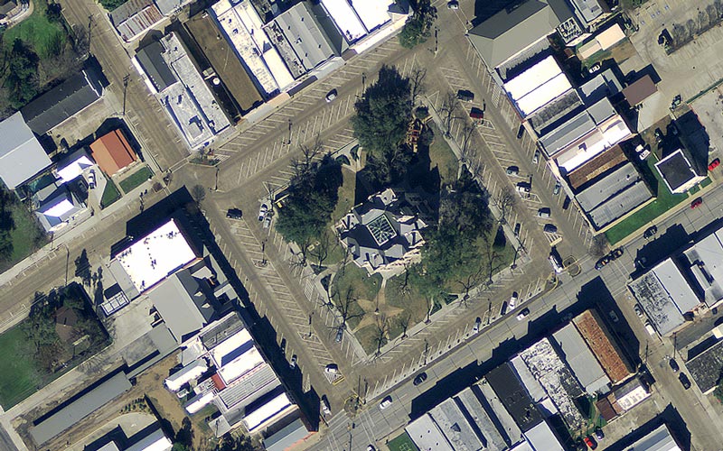
The CAPCOG GIS Program has redesigned its web portal for downloading mapping data to increase access and improve navigation to mapping information for local jurisdictions and community planning partners. The site still aggregates mapping data from a variety of local, state and federal sources, but the data was reorganized to better categorize information and removed outdated information instead of archiving it. The website also now contains consistent updates for commonly requested, public 9-1-1 mapping data — the region’s address points and street centerlines.
“Mapping data is such a commodity now, that we can’t even think of all the ways it is being used,” said Susan Cooper, CAPCOG GIS program manager. “As a public partner, we want this type information as accessible as possible, so it can be used by local planners, engineers, and researchers across multiple disciplines such as medical, emergency management, and economic development, to improve the region.”
Aggregated data from other sites are periodically checked and reposted to ensure they are current. For example, address points and street centerlines for all ten counties are updated on the site on or about the sixth business day of each month.
The website also showcases the GIS Program’s work that pairs mapping data with other datasets to create location-based visualizations that can be used to inform policymakers, other government officials and the public. Among these items include an illegal dumping heat zone map, the progression of the 2015 Memorial Day floods, changes to the flood plains, and the region’s COVID-19 dashboards.


