Tag: Maps
CAPCOG readies 2023 imagery project, 2022’s goes public
Click to read more

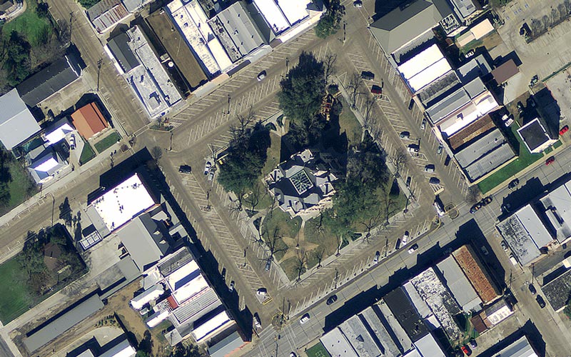
Access to the newest aerial imagery could mean the difference in seeing a new road, house or neighborhood by a first responder, so CAPCOG is providing local emergency communication centers (EECs) access to more frequently updated aerial imagery in 2023

Tagged with: , , , , ,
Open data site provides more mapping information for community partners
Click to read more

The CAPCOG GIS Program has redesigned its web portal for downloading mapping data to increase access and improve navigation to mapping information for local jurisdictions and community planning partners. The site still aggregates mapping data from a variety of local,

Tagged with: , , , ,