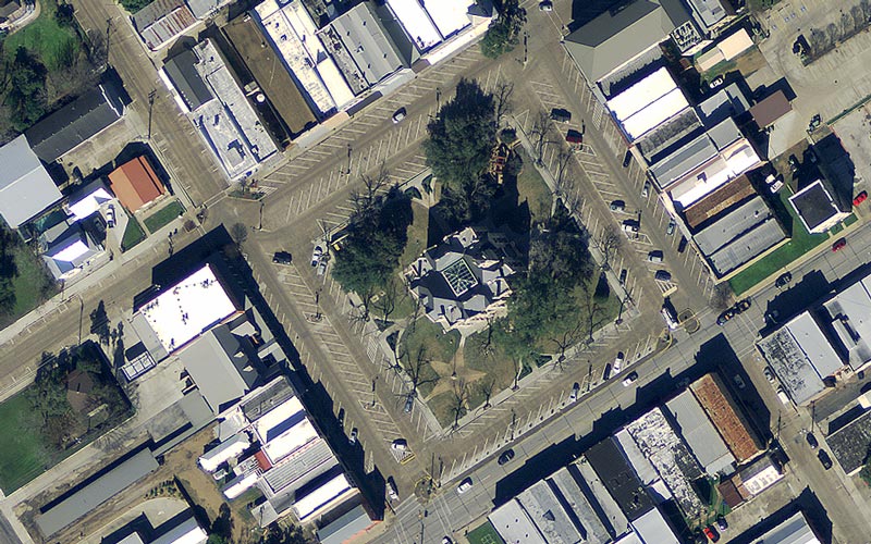
CAPCOG is coordinating the purchase of geospatial data through its 2020 Capital Area Orthoimagery Project in partnership with Texas Natural Resources Information System (TNRIS) Strategic Mapping Program (StratMap) as a regional cooperative effort to save local jurisdictions money. There is…
