The Capital Area Council of Governments (CAPCOG), with support from the Texas Department of Transportation (TxDOT), is launching a Regional Safety Action Plan aimed at...
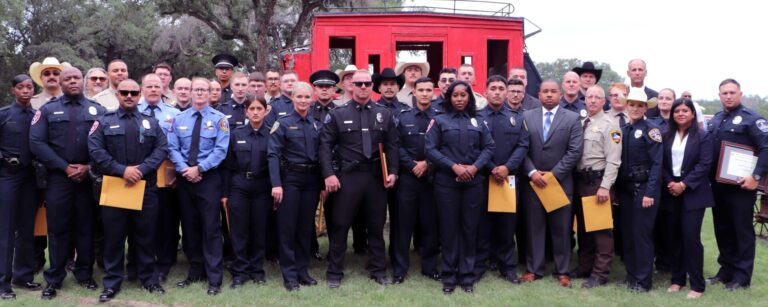
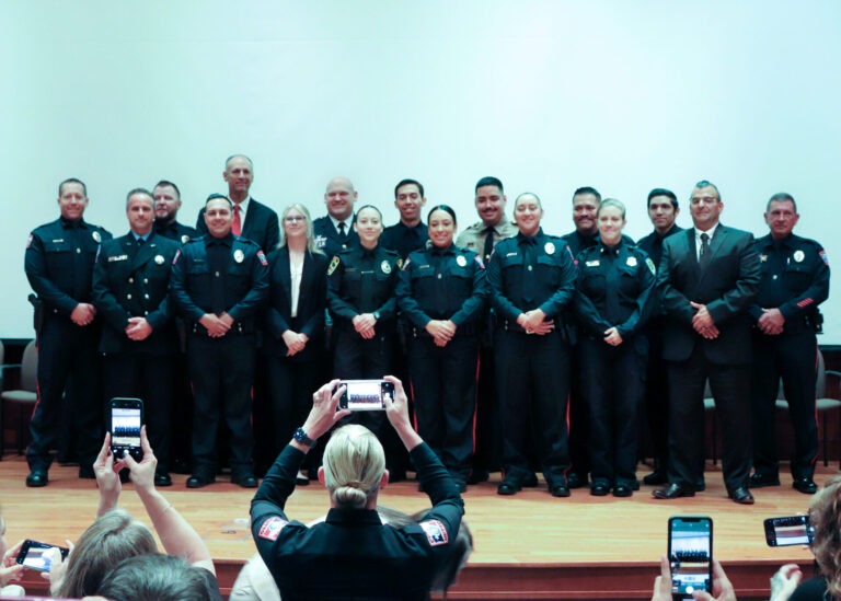
The Capital Area Council of Governments (CAPCOG) Regional Law Enforcement Academy (RLEA) graduated 41 peace officers, who have accepted positions at 17 different agencies throughout...
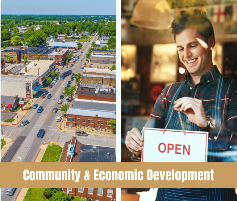
The CAPCOG Executive Committee adopted the CAPCOG’s 2025-30 Comprehensive Economic Development Strategy (CEDS) in June, giving local governments an outline for understanding regional economic conditions...
CAPCOG reviewed 59 project applications and submitted it recommended prioritization list for four five Office of the Governor (OOG) criminal justice funding opportunities. The submitted...
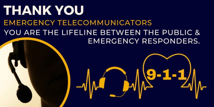
CAPCOG honored emergency telecommunicators serving the 10-county region during National Public Safety Telecommunicator Week (NPSTW), April 13 through 19, 2025, joining several local jurisdictions and...
The CAPCOG Regional Planning and Services (RPS) Division will collect public comments on the 2025-2030 Comprehensive Economic Development Strategy (CEDS) draft until May 16, 2025....
The CAPCOG Regional Wildfire Resilience Summitt will foster essential collaboration and coordination among local, state and federal governments; private agencies; and volunteers to develop comprehensive...
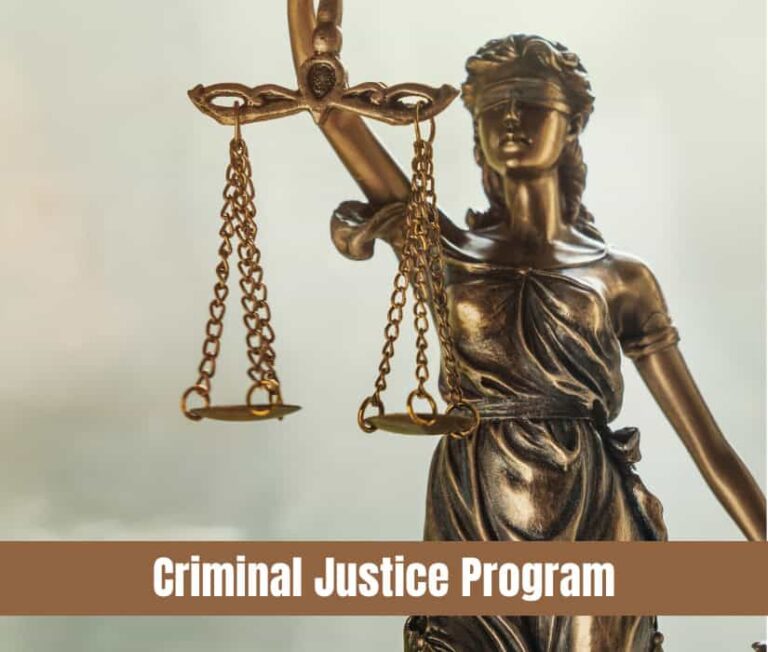
CAPCOG started testing prospective cadets to join its Regional Law Enforcement Academy’s next basic peace officer course to begin June 23, 2025. Tests will occur...
The Texas Health and Human Services Commission (HHSC) is accepting public comments on the draft of the Fiscal Year 2026-28 Texas State Plan on Aging...
Nestled halfway between Austin and Houston, Ellinger has embarked on a transformation following its 2020 incorporation. With a population of slightly more than 200 residents...
CAPCOG recognized four recipients with Air Central Texas Awards during its General Assembly meeting on December 11 in Austin. The awards celebrated organizations and individuals...
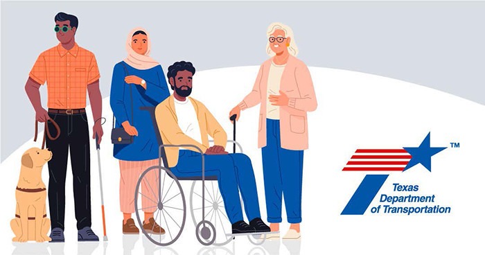
The Texas Department of Transportation (TxDOT) is holding virtual public involvement workshops throughout the state to get input about the Federal Transit Administration’s (FTA) 5310...