- Who We Are
- What We Do
- Divisions
- Transparency
- News
- Events
- Regional Directory
- Careers

Data & Maps
CAPCOG’s data services offer timely census information, cutting-edge mapping, regional statistics, economic analysis and more to assist local jurisdictions, businesses, residents and other interested stakeholders in the Central Texas 10-county region.
What We Do
Demographic Data
CAPCOG is a designated census information center through an agreement with the U.S. Census Bureau. It provides data and analysis for a local and regional audiences attempting to make Census and Texas demographic information more accessible. Learn why you may need Census data as well as how to get it for any local jurisdiction in the region.
GIS Open Data
The CAPCOG Regional Open Data website increases accessibility to free mapping information and makes the data easily downloadable. The website has enhanced CAPCOG's GIS Program's ability to be a single resource of regional geographic information.
Aerial Imagery
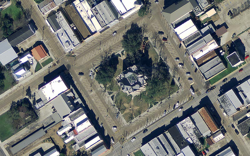
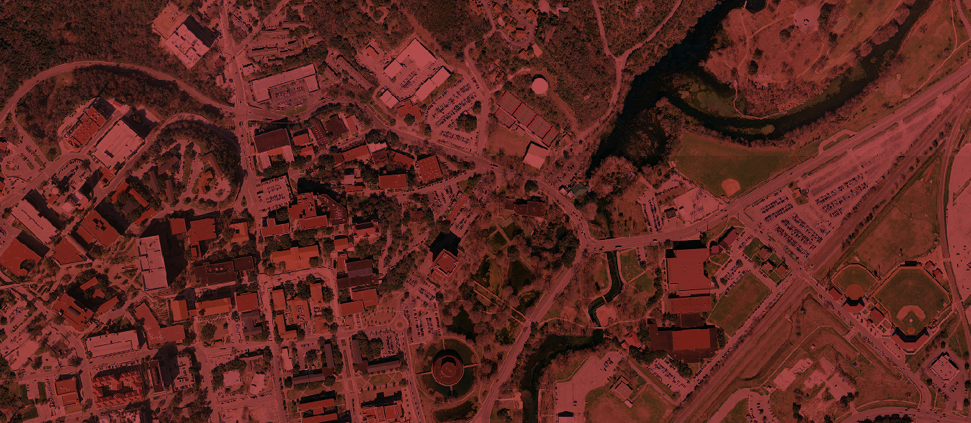
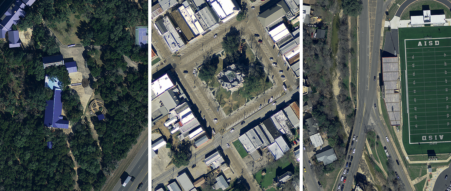
CAPCOG conducts aerial imagery projects annually for 9-1-1 purposes. Former projects have been called the Capital Area Orthoimagery Project and the GeoMap Program. These projects also provide and maintain the region's need for geospatial base-map data for other planning purposes.
Custom Data Projects
CAPCOG compiles a lot of data and drafts numerous reports. CDs, DVDs or prints of various data sets, maps and reports are available at the cost of reproduction plus labor and shipping based on a fee schedule. For advanced analysis or mapping, CAPCOG also can produce custom reports, with pricing dependent on data availability and level of analysis.


