- Who We Are
- What We Do
- Divisions
- Transparency
- News
- Events
- Regional Directory
- Careers
Serving Bastrop, Blanco, Burnet, Caldwell, Fayette, Hays, Lee, Llano, Travis, and Williamson Counties


GIS Open Data
what we do
The CAPCOG Regional Open Data website is a resource that compiles a variety of mapping datasets that pertain to the 10-county region. The site is intended to provide municipal and county planners from all government disciplines access to mapped data that is beneficial to their planning needs. However, the website’s data is public, so it is available for educational, economic and a variety of other uses.
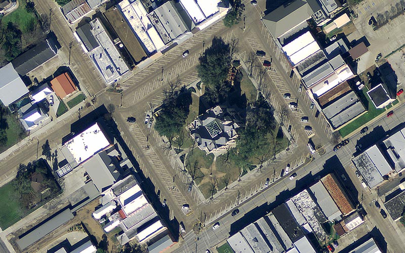
CAPCOG sources some of the information on the open data website; however, the majority of the data is aggregated from federal, state and local public sources. The site serves as a single-point resource for regional geographic information, and CAPCOG is committed to reviewing those data sources for updates annually or quarterly depending on the release schedule from entities responsible for creating or distributing the information. Available datasets include but are not limited to city limits; floodplain boundaries; school district boundaries; airport and park locations; street centerlines; and address points. Parcel boundaries also are available.
Hosted by ArcGIS Online, the site allows users to visually review numerous datasets before downloading the information for their own use.
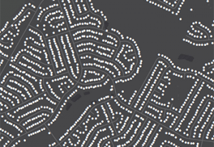
This image shows address points.
CAPCOG QA’ed 9-1-1 Data
As the Capital Area Emergency Communications District, CAPCOG receives monthly updates for address points and street centerlines from the region’s ten counties. CAPCOG’s GIS Program does a quality assurance test on the data to improve mapping accuracy and releases the data back to the region’s 31 public safety answering points so they share the same maps. These popular datasets are now available on the open data website. They are uploaded to the site on or by the sixth business day of every month.
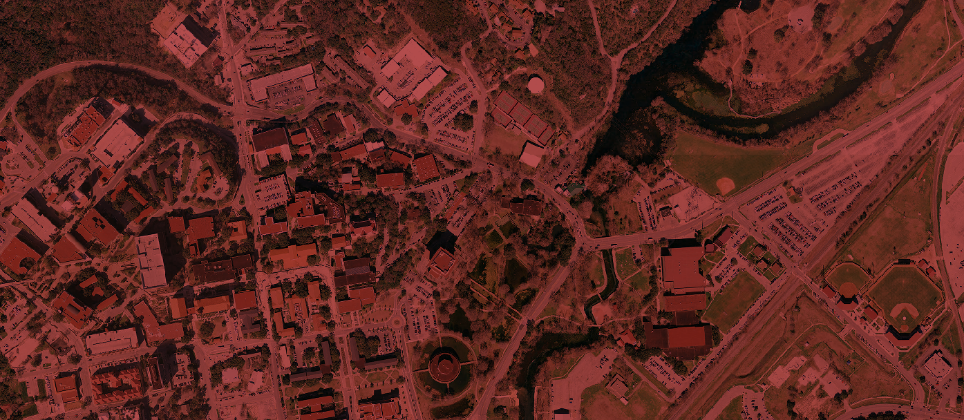
Aerial Imagery / Base Maps
Due to site limitations aerial imagery that CAPCOG has purchased is not available on the Open Data website. CAPCOG does purchase 12-inch resolution aerial imagery annually for 9-1-1 mapping purposes. To learn how to access current and previous aerial imagery of the region, go to the aerial imagery page.
Mapping Disclaimer
The maps and data on any of CAPCOG’s website are provided “as is” without warranty, expressed or implied, or any representation of accuracy, timeliness or completeness. The burden for determining accuracy, completeness, timeliness, and fitness for or the appropriateness for use rests solely on the user accessing this information.
The user acknowledges and accepts all inherent limitations of the maps and data, including that maps and data are dynamic and are in a constant state of maintenance, correction and revision. No liability is assumed for the accuracy of the data delineated on any map or any use of data developed using historical, current, or predictive models.