Tag: StratMap
CAPCOG, TNRIS coordinate 2021 Aerial Imagery project
Downtown La Grange

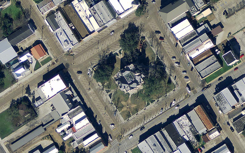
CAPCOG is seeking local jurisdictions to participate in the Texas Natural Resources Information System’s (TNRIS) Strategic Mapping Program (StratMap), so they can update their aerial imagery, or orthoimagery, for a fraction of the cost and enhance their planning capabilities. Local

Tagged with: , , , , , , ,
CAPCOG calls for Orthoimagery projects, geospatial savings
Click to read more

CAPCOG is coordinating the purchase of geospatial data through its 2020 Capital Area Orthoimagery Project in partnership with Texas Natural Resources Information System (TNRIS) Strategic Mapping Program (StratMap) as a regional cooperative effort to save local jurisdictions money. There is

Tagged with: , , , , ,